The Topography Of Africa
A lot of people have a tainted idea of what Africa looks like. They think of Africa as a continent filled with desert sands, jungles, wild animals, and poor people. The continent has its challenges, as every other continent does. Nonetheless, it blends the most beautiful cultures, landscapes, and terrains like a work of art.
Travellers to the most beautiful countries conversant with the divergent cultures worldwide come to one conclusion: Africa is the most beautiful of all continents. It is glorious in the harmony of the different terrains that complement each other. It is the apt definition of the beauty of nature.
God has blessed Africa with highlands and lowlands, creeks and river basins, rainforests and savanna lands. The continent’s topography can be grouped primarily into eight regions: the coasts of Swahili, the rain forests, Southern Africa, Sahel, Savanna, the great lakes, highlands, and Sahara regions. All regions are further grouped into sub-regions with their unique biosphere across the continent.
The Highlands
The African highlands, more frequently called the Ethiopian Highlands, is known to be the home of the tallest mountains in Africa. The region is composed primarily of rocks thousands of kilometres above sea level. These high rocks split to give rise to the Great Rift Valley, which spans the length of the highlands from north to south. These highlands are home to animals rarely found in other parts of the world. Animals such as the ibex, the gelada baboon (a native breed of primates), and the Ethiopian highland wolf – all of which are almost extinct due to poaching activities. This mass of tall rocks mainly covers countries in the eastern continent, including Ethiopia, Djibouti, Somalia, North and South Sudan, Kenya, and Eritrea.
Sahel Region
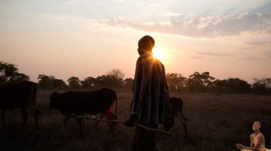
The Sahel region is the semi-arid region of the continent, and it covers the arid zones from the north of Africa to the savanna region southwards. The Sahel is made of flat plains and contains fertile soil suitable for farming due to its proximity to the River Niger. One of the lengthiest rivers in the country. During rainy seasons, green vegetation sprouts, giving it the look of a typical savanna region. However, the area may be taken for the arid Sahara zone in dry seasons due to the dry and windy harmattan. Africans in these regions are primarily nomads, and the herd prevalent are breeds of ruminants resistant to diseases endemic to the area.
Savanna Region
The savanna region, known better as grasslands, is the most extensive terrain of the continent. It consists primarily of enormous undulating plains that stretch across the continent, covering almost half. It is centralised, covering central African countries and northern, eastern, western, and southern Africa.
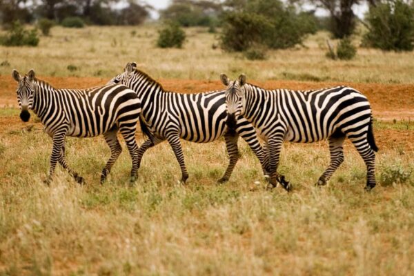
This region is home to various mammalian species, ungulates, and beasts that inhabit tropical areas globally. The savanna region has fertile land that supports plant species that may not be native to the region; this supports Agricultural activities.
Sahara Zone
The Sahara covers most of the countries in northern Africa and is the world’s most enormous arid landmass. This region is about a quarter of the continent. Its peculiar features include the dunes containing salt and plains with sand and coloured pebbles. Usually, such pebbles remain where river beds are now bare lands without water. In addition, Sahara features rocks, highlands, and plateaus several kilometres in height around northeastern Africa.
Given that this area is arid land with little to no water stored up in oases, humans, plants, and animals show adaptation to the aridity peculiar to the deserts. However, some areas have no life. As the desert peaks in some countries in northern Africa, no vegetation can be seen for miles.
The Coastlands
It is called the Swahili coast due to its inhabitants, and as it stretches around coastal countries along the Indian Ocean, down to Mozambique. The region has decreased bioactivity plant and animal life due to sandiness and extreme weather conditions. Bushbabies have their home here, and Mangroves colonise the swamps.
RainForest
A considerable percentage of the continent’s rainforest is concentrated around central Africa and close to the Congo River basin. The diversity of flora and fauna is impressive. A relatively small rainforest in Africa may contain many more living organisms than a forest of the same size on another continent. Many plant species are unique to these rainforests. Scientists have identified only a few of these species and documented them. However, ancestors used them for curative purposes, natives claim.
Southern Africa
Countries in the southern part of the continent are more dominated by rocky features than any other physical component; plateaus and mountains are not uncommon in South Africa. It is home to numerous animal species supporting the food chain in the region. Southern Africa is, therefore, the centre of most reserves and conservation activities in Africa.
The rich soil in southern Africa favours the growth of numerous plant species, especially flowers. The climate is pretty different from the average tropical region because of its height above sea level. It is cooler.
African Great Lakes
The great lakes are water bodies around the Great Rift Valley. As the Ethiopian highland rocks separated, they birthed more significant depressions that gave rise to the deepest lakes. Lake Malawi, Lake Turkana, Lake Albert, Lake Edward, Lake Tanganyika, and Lake Victoria: the largest lake in Africa. Regions around the great lakes host a variant range of animal and plant species due to the convenience of growth around the area. Rainforest and grasslands are natural to the region, most probably due to the region’s proximity to great water bodies.
It’s easy to fall in love with how everything about the continent blends – from different cultures to the continent’s beautiful landscape. People will sing of its natural beauty. Yet, there are a thousand and one reasons aside from the beauty of its landscape why Africa is as beautiful as it is diverse.
.


